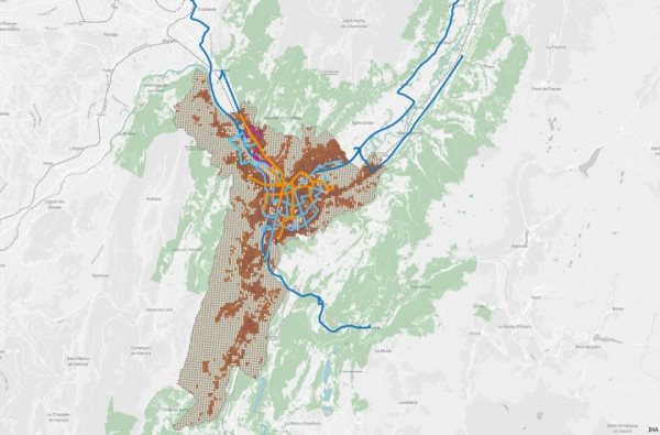
TRANSITEC uses Geographic Information Systems (GIS) for a wide range of projects, because the tool meshes perfectly with our design approach. It is able to:
- facilitate spatial cross-analyses across multiple subjects and layers
- display data in such a way that the message is clearly communicated
- update project proposals based on the data analysis.
We use MAPINFO and MANINFOLD as our main GIS applications, and QGIS, an open source interface, when it is particularly important to facilitate exchanges with the project’s owner and the owner’s partners.
