Mobility in the right direction
Contact-usTRANSITEC, your partner in
- training
- implementation
- design
- planning
- consulting
- evaluation
- research
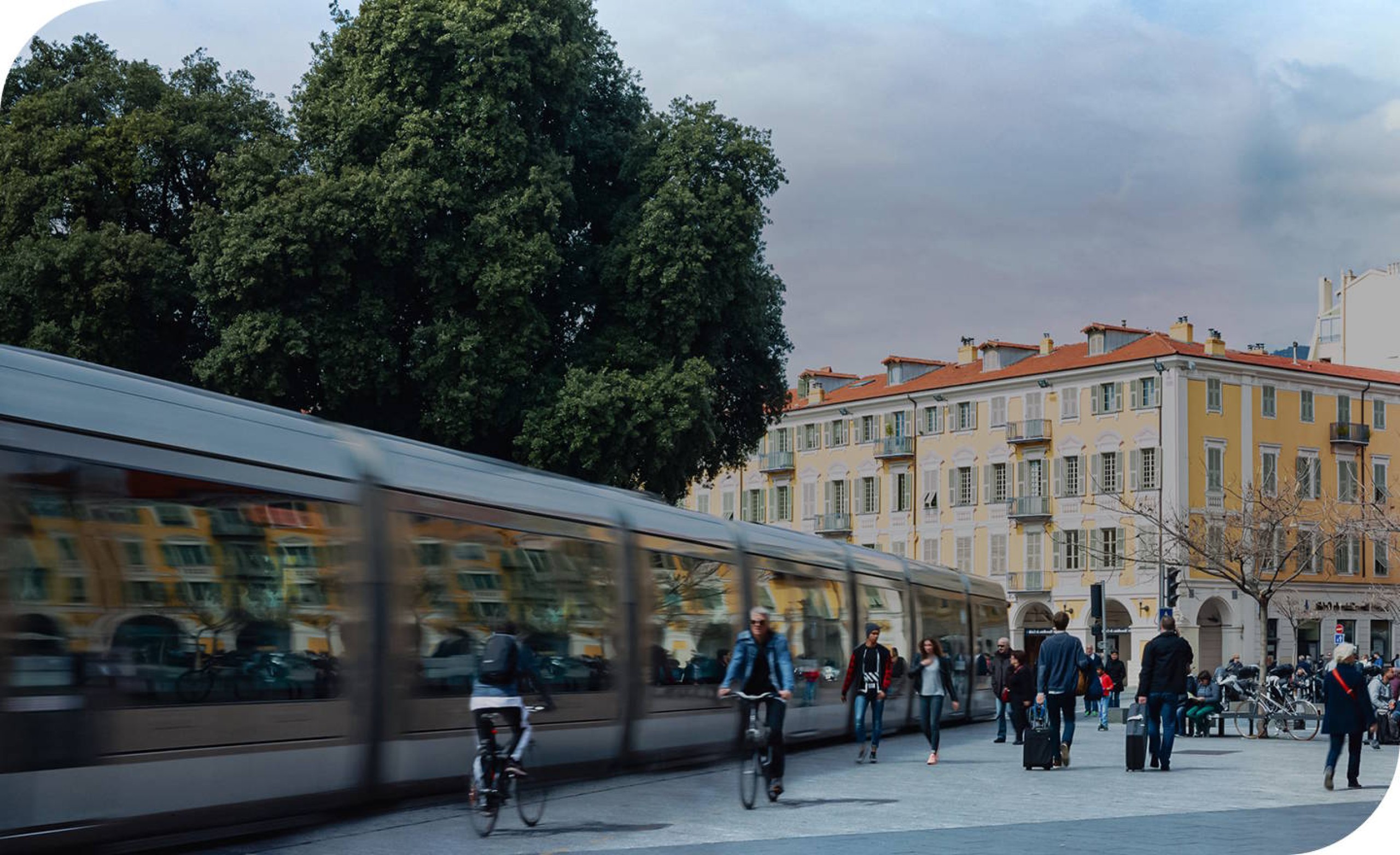
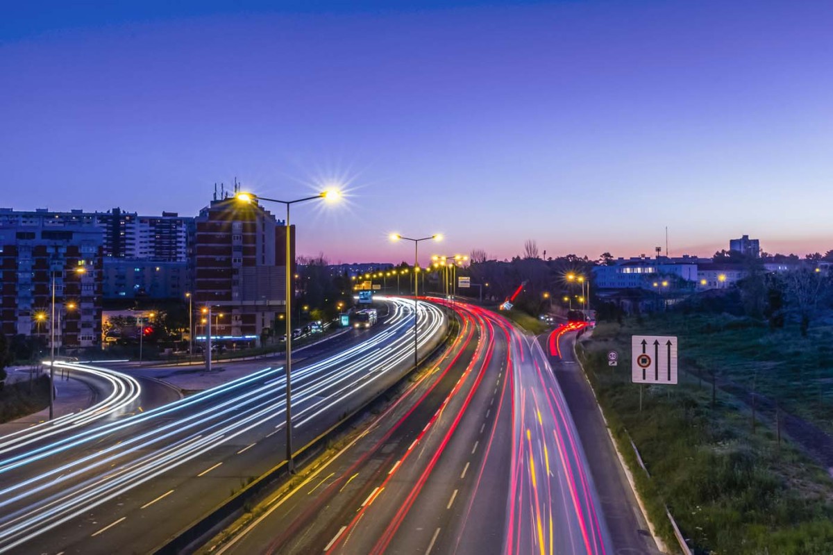
At Transitec, we are committed to moving boundaries to steer the mobility of today and tomorrow in the right direction.
Driven by this vision, we develop mobility solutions that are as simple as possible, suitably innovative, and, of course, sustainable.
Proud of our
Commitment
on all levels
Sharing
of a collective mindset
Independence
the key to well-informed choices
Creativity
born from our curiosity
Excellence
because reliability lies in the details
At your service


A corporate citizen
-
- 72 years
- 85
- 71%
- 119
- Group age
- Shareholders in 2025
- Ratio of shareholders to employees in 2025
- Number of employees in 2025
-
- 10
- 36.4 years
- 9.6 years
- 47
- Number of branches
- Average age of team in 2025
- Average staff seniority in 2025
- Percentage of women in the workforce in 2025
-
- 485
- 59
- 6%
- Mandates acquired in 2025
- Number of countries where Transitec was active
- Percentage of hours invested in training and innovation in 2025
We are always looking for new talents
Do you want to have a positive impact on society by working in the field of sustainable mobility?
What if Transitec were the ideal place to realize your ambitions?
Joining our human-sized team means:
- contributing to designing territories focused on future-oriented mobility.
- getting involved at all levels of projects to propose optimized mobility solutions that serve the development of the spaces we live in.
- thriving in a stimulating and innovative work environment within a company that is committed to and aware of its social and environmental responsibilities.
- supporting others as they grow in the development of their skillsets.
- fostering a culture of taking initiative, openness, and mutual support in everyday life.
Contact us

Your contact
Lausanne
Avenue Auguste-Tissot 4
1006 Lausanne
Switzerland
+41 21 652 55 55